
Looking Up Your Irvine Neighbors
A block-level Irvine neighbor lookup combines sources that describe land, people, and community geography. The map shows adjacency. The Assessor supplies APN and value context. The Recorder identifies recorded transfer parties. A permit can show an applicant or owner at filing. The voter file is restricted, and an HOA map does not equal a member list. Historical directories can add past households without saying who lives there now.
| Source | What It Shows About a Block | Access |
|---|---|---|
| City of Irvine GIS | Parcel adjacency, planning area, zoning or tract orientation | Free map and static PDFs |
| Assessor and tax route | APN, assessment, parcel and tax context | APN or address route; counter fallback |
| RecorderWorks | Owners and transfer parties by parcel or instrument | Free index; copies separate |
| Permit portal | Construction, applicant, owner-at-filing, dates and inspections | Free inquiry; request digitization gaps |
| Voter data | Registered residence only through approved access | Authenticated or qualified application |
| HOA and community maps | Association geography and contact starting points | Public map; no verified member roster |
| Directories and census | Historical occupants and households by year | Library, archive, or licensed access |
Owners and occupants are different facts. A parcel record can identify an assessed owner while a directory or census supplies an earlier household. A mailing address can differ from the situs, and a person can be protected or absent from a public record. Keep the source and date beside each block clue.
Click Outward from an Irvine Parcel
The City of Irvine Online Parcel Search is a manual adjacency tool. Locate the known address, zoom until lot lines are clear, and click the surrounding polygons one at a time. The research did not verify an automatic buffer, radius, or export control, so the block result must be built by repeating the click and recording each APN. A map polygon is land geometry, not a household record.
For each adjacent parcel, record the APN, situs, tract or lot context, and any map note. Carry the APN to the county property route, then use the legal description or party clue in RecorderWorks. If the question is the full named street rather than the immediate block, the Irvine street directory by address page owns the longer street walkthrough.
Block flow: known address, map polygon, adjacent APN, assessment context, recorded parties, permit history, then a historical or community source only when the year and access rule fit.
Mapping an Irvine Block by Parcel and APN
A focused Irvine neighbor search avoids the false precision of a broad people query. Start with a physical point, then work through land keys:
- Locate the known Irvine address in the City parcel viewer and zoom to the immediate block.
- Click each adjoining polygon and record the APN, lot, tract, and visible parcel orientation.
- Use the APN with the Assessor route for assessment and map context, remembering that the public web result suppresses the owner's mailing address.
- Use RecorderWorks to trace transfer parties and dates for the parcels that matter.
- Use permits, directories, or census records only for the project or historical year they actually document.
The map can show a neighbor parcel without showing a neighbor's name. That gap is intentional. The whole block can also cross a planning-area or postal idea without changing the land custodian. A precise APN keeps the question attached to the right polygon.
Irvine HOA Maps Show Geography, Not Members
The official Irvine GIS map library includes an HOA map and a parcel-service legend. The research identified Great Park Neighborhoods Community Association, Green Glen Neighborhood Association, and Turtle Rock Ridge Garden Home Association as examples of association geography. That information can help explain which community layer surrounds a parcel, but no official citywide public member directory or block-watch roster was verified.
| Great Park Neighborhoods Community Association | Association geography clue for Great Park area; use a published management or community contact, not a member search. |
|---|---|
| Green Glen Neighborhood Association | Association name in the map legend; the map does not establish individual membership. |
| Turtle Rock Ridge Garden Home Association | Association geography for a Turtle Rock context; verify current contact through the association or City services. |
Community organizations, congregations, and neighborhood services can be useful for local history or reconnecting, but a public contact page is not permission to recreate a private roster. Use the association layer to understand place, not to expose households.
The Irvine neighborhood and community services page is the public civic starting point.
Orange County Voter Rules Limit Block Searches
A public Irvine neighbor list cannot be made by browsing the voter roll. Orange County's self-service lookup authenticates a person's own record with full date of birth, identification or SSN last four, and the first three letters of the first name. A separate qualified data application requires a wet signature, identification, intended permitted use, security details, supporting material, and payment.
The county application cites Elections Code sections 2188, 2194, and 18109, Government Code section 7924.000, and 2 CCR sections 19001 through 19013. The file can contain names, residence or mailing addresses, registration status, party, precinct or district, and election participation, but license numbers, SSNs, signatures, and full authentication data are protected. A block analysis must stay within the approved purpose and cannot be republished as a neighborhood directory.
The Orange County voter-data access rules show why a neighbor lookup stops short of an open voter list.
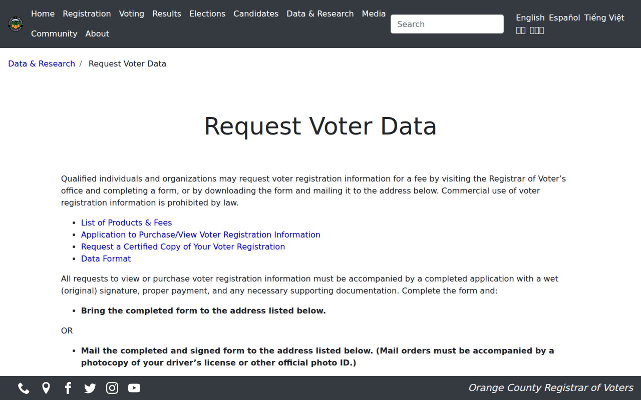
The official application view supports a lawful-access explanation, not a method for bypassing the restriction.
Irvine Permits and Deeds Add Block Context
Permits can show construction activity along a block, including project address, applicant or owner at filing, application and issue dates, inspections, tract, map, lot, subdivision, and APN fields. A permit does not prove that the applicant lived there. Deeds add transfer chronology and legal parcel identity, but a recorded party can be an owner, lender, trustee, or other instrument party rather than a household member.
For a current parcel, keep the map, APN, assessment, deed index, and permit result together. For a historic block, add a county directory, census, or newspaper year. The chain is strongest when each result answers a different question instead of repeating the same owner name.
The Irvine Online Parcel Search and Orange County RecorderWorks index are the two main land-record starting points.
Historical Irvine Neighbors in Directories and Census
Historical neighbors are tied to a year. The verified Orange County directory leads include 1895-1896, 1903, 1905-1931 citations, 1928-1952 descriptions, and a circa-1930 NARA grouping. Those books may file an Irvine-area person under Orange County, Santa Ana, Irvine Ranch, acreage, or another locality. A modern street label may not exist yet.
The federal census through 1950 can show household members and relationships around the same period. Compare the locality and enumeration context, not just the surname. A directory disappearance can mean a move, a missing year, an unlisted person, or a changed address. Use the historical shelf for past neighbors, not a claim about the current block.
When the question becomes a person rather than a radius, the Irvine resident lookup page separates court, vital, license, and business checks from the block map.
California Data Broker Deletion Is Separate
California's CCPA and CPRA give covered consumers rights that can include knowing, deleting, correcting, limiting certain sensitive-information uses, and opting out of sale or sharing, subject to exceptions. The Delete Act created a one-stop deletion mechanism through the California Privacy Protection Agency. The 2026 DROP portal began broker deletion processing in August, with recurring hashed-identifier comparison described by the state.
A data-broker deletion request does not erase a government deed, parcel, court, voter, or vital record. It addresses a covered business's copy or use. A neighbor lookup should distinguish an official custodian from a commercial profile that may merge owners, relatives, renters, old addresses, and inferred relationships.
The California DROP deletion portal explains the separate privacy route.
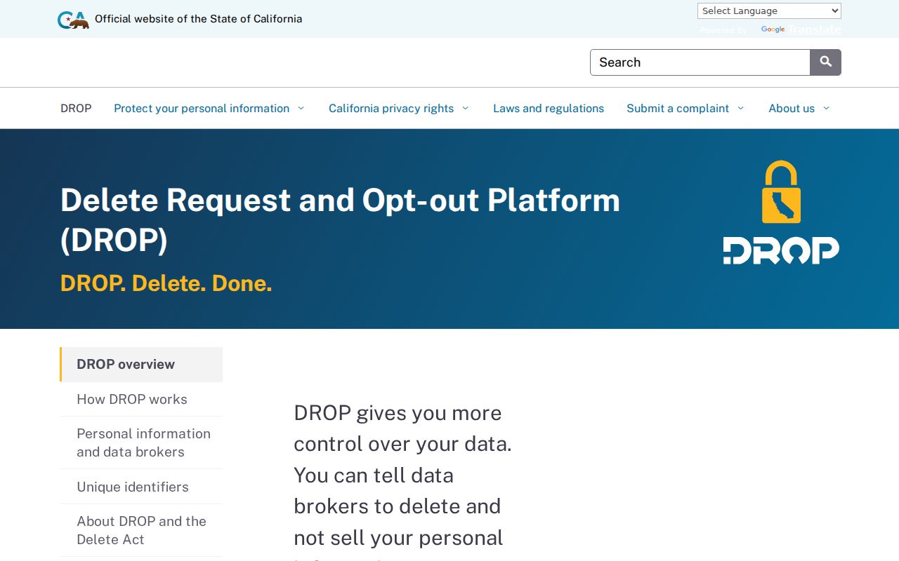
The state privacy tool is for covered data-broker requests, not for changing the source record held by Orange County or Irvine.
Orange County Custody Tools Are Not Neighbor Lists
Public-safety portals sometimes appear in a local search because a name or address question changes into a custody question. The Orange County Sheriff Inmate Information System has an enhanced account-based route that requires email and password sign-in and expressly does not expose charges. Search fields and a sample result were not available without the account. The county custody source should be kept separate from an Irvine neighbor lookup.
The Orange County Sheriff inmate-information page identifies the official application route.
The Sheriff's custody operations information page supplies the broader county access context.
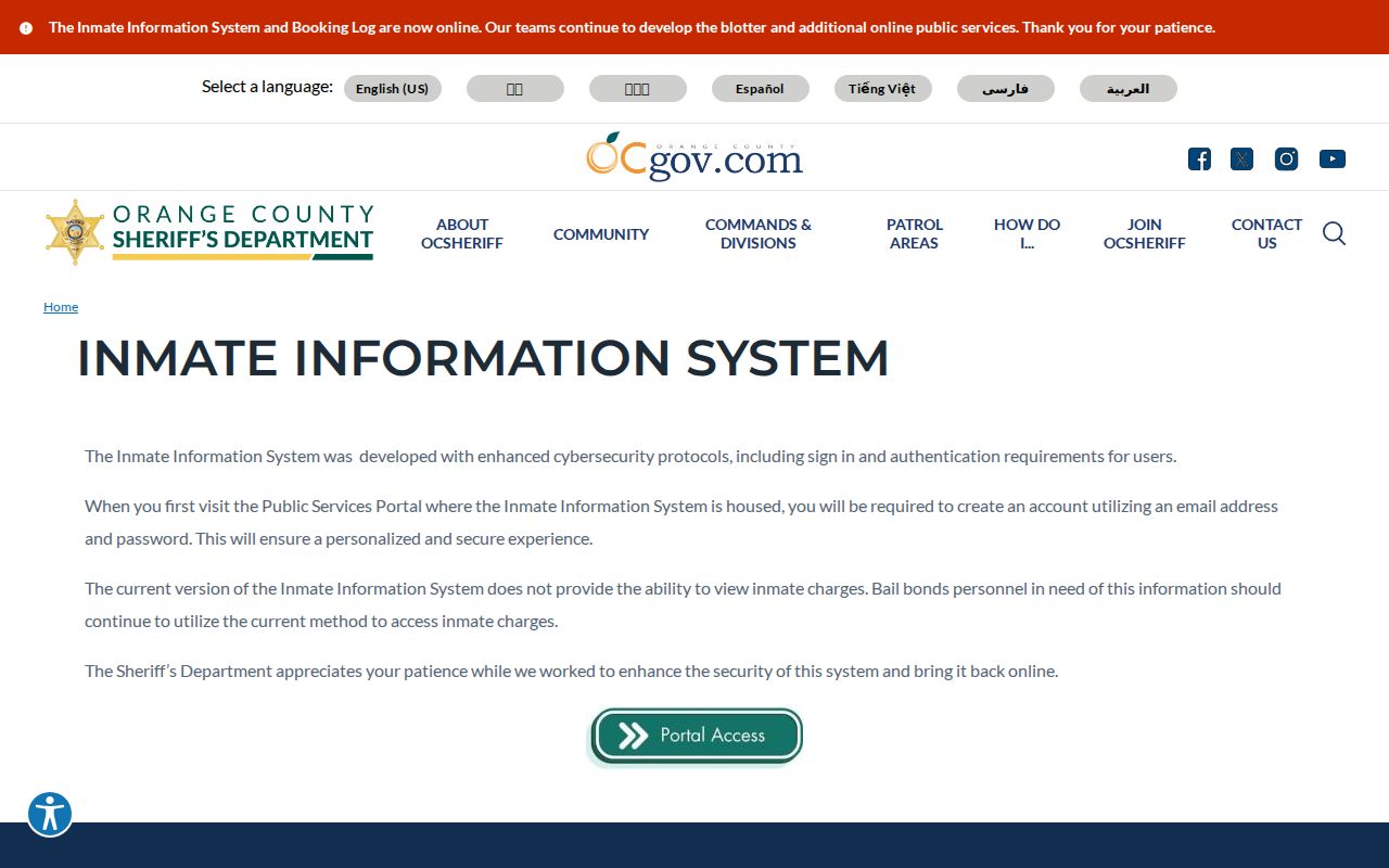
The landing page gives custody context, but it does not create a block roster or reveal a neighbor's household.
The separate Orange County Sheriff application is the account route.
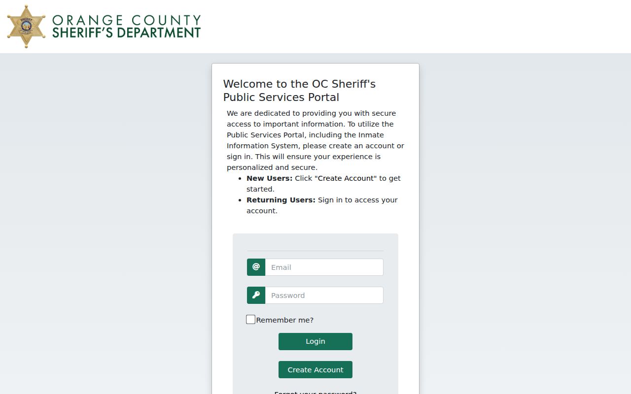
For a case question, use the Superior Court record and its disposition. Never equate a booking with guilt or use a custody tool to widen a neighbor search.
Privacy Limits on an Irvine Neighbor Lookup
Safe at Home gives qualifying survivors and reproductive-health personnel a substitute mailing address in specified public records. Renters, household members, utility customers, delivery recipients, DMV records, and private association rosters are not ordinary public block fields. A missing protected address is a safety measure, not an invitation to find another route.
| Route | What It Can Offer | What It Cannot Justify |
|---|---|---|
| Official parcel and deed records | Land, APN, assessment and recorded transfer context | Every occupant or household member |
| Community or HOA map | Association geography and a public contact starting point | Member names or private rosters |
| Commercial neighbor profile | A combined, paid presentation of public and inferred data | Official accuracy or current occupancy |
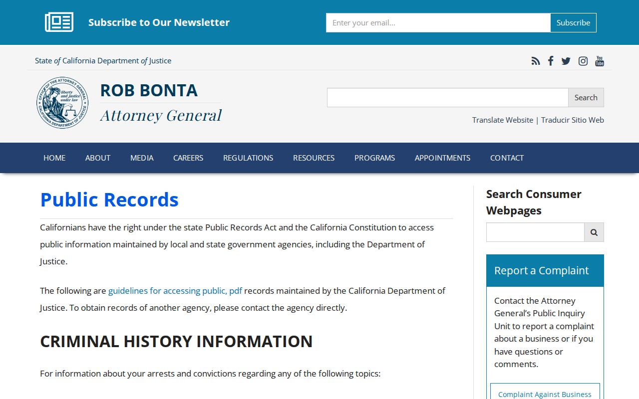
The California Attorney General's CPRA guidance explains that a public record does not cancel a separate confidentiality law.
The California Public Records Act guidance is the source for the public-record boundary.
Use the official source for the fact it holds, verify with the custodian, and keep an Irvine neighbor lookup limited to lawful personal, family-history, reconnection, or civic purposes.
Lawful use. Do not use parcel, deed, community, court, voter, or custody information to stalk, harass, intimidate, or threaten anyone. A block map is for understanding place, not monitoring people.