
Irvine ZIP Codes by Practical Coverage
ZIP codes are delivery routes. The neighborhood descriptions below are orientation clues from the Irvine research, not a substitute for address-by-address USPS verification. A ZIP can cross a planning-area idea, approach another city's postal geography, or serve an institutional mailing route without changing the city or parcel custodian.
| ZIP Code | Practical Irvine Coverage | Post Office Status | Research Note |
|---|---|---|---|
| 92602 | North and northwest, including Orchard Hills and Northpark vicinity | USPS delivery ZIP | Approaches unincorporated Orange and Tustin postal geography |
| 92603 | Turtle Rock, Quail Hill, Shady Canyon and southwest hills | USPS delivery ZIP | Boundary approaches Newport and Laguna geography |
| 92604 | Central Irvine, Woodbridge and Northwood portions | USPS delivery ZIP | Village lines differ from ZIP lines |
| 92606 | Walnut, Westpark and civic area | USPS delivery ZIP | City Hall uses this postal area |
| 92612 | University Town Center, Rancho San Joaquin, and airport-business side | USPS delivery ZIP | Not synonymous with the UCI campus |
| 92614 | West-central Westpark, Woodbridge and business areas | USPS delivery ZIP | Route crosses planning-area concepts |
| 92617 | UCI and University Hills vicinity | USPS delivery ZIP | UCI controls campus addressing |
| 92618 | East and southeast, Spectrum, Great Park and newer villages | USPS delivery ZIP | Growth and annexation geography matter |
| 92620 | North and northeast, Northwood, Stonegate, Cypress Village and Portola Springs vicinity | USPS delivery ZIP | Does not follow village lines |
| 92623 | City and agency P.O. Box mailing, including Community Development mail | PO-box, non-geographic | Do not map as a residential neighborhood |
| 92697 | University of California Irvine | Unique, institutional | Not an ordinary street-wide residential unit |
No single authoritative current source supplied a complete station-by-station post-office map or neighborhood-to-ZIP crosswalk. The practical list is a starting index. USPS remains the address check, and city or county GIS remains the municipal and parcel check.
92618 Follows Irvine's Eastern Growth
ZIP 92618 covers a large east and southeast portion of Irvine, including Spectrum, Great Park, and newer villages. Growth makes postal labels especially easy to confuse with municipal or planning boundaries. An address in the ZIP may be near a new tract, an older base-era site, or an annexation edge, while the record keeper remains the City of Irvine, Orange County, UCI, or another agency tied to the actual record.
The Great Park Walkable Historical Timeline adds context for the former MCAS El Toro landscape. It covers 162 events across more than 2,604 feet of former taxiway and reaches from 13,000 BC through 2019. The timeline is not a resident roll, but it can explain why a parcel or neighborhood clue has a military or base-era history that does not appear in a modern ZIP search.
The Great Park Walkable Historical Timeline is the local history source.
Use the ZIP to narrow a mailing area, then use the parcel, permit, or historical record that explains the address itself.
92623 Is a Mailing ZIP, Not a Neighborhood
ZIP 92623 is identified in the research as a City or agency P.O. Box mailing area, including the Community Development P.O. Box 19575 address. A P.O. Box ZIP does not describe a residential polygon. It should not be placed on a map as if every person receiving mail there lives in one Irvine neighborhood.
This distinction matters when a record contains a mailing ZIP rather than a situs address. A public request, permit, or city form can use a P.O. Box for correspondence while the parcel, project, or person is located elsewhere. Keep mailing and physical location in separate fields, then follow the situs address or APN to the correct custodian.
The city's library transition background is another example of why mailing and service geography should be checked before drawing a map.
The address in an agency notice can identify a service route without identifying a residential ZIP area.
UCI Controls Part of Irvine's Addressing
ZIP 92617 and ZIP 92697 need a special custodian check. Irvine expressly does not assign or maintain UCI or University Hills addresses; UCI's campus planning office does. That means a city GIS search, a USPS check, and a UCI address record may each be relevant, but none should be silently substituted for the other.
ZIP 92612 also reaches University Town Center and Rancho San Joaquin without being the same thing as the UCI campus. A ZIP code directory should keep the campus, campus-adjacent, and city-assigned address layers distinct. For a name or household clue, use the ZIP to narrow the area and then follow the university, parcel, deed, newspaper, or directory source that actually holds the record.
Irvine's future-library planning materials show how local service systems can change while the postal code remains the same.
Service boundaries are useful orientation, but a ZIP does not decide which office owns a parcel or person record.
Finding Irvine Residents ZIP by ZIP
There is no honest single ZIP-wide resident search in the inspected local portals. Use a ZIP as a narrowing clue, then verify each address and move to a source that uses the correct key.
- Confirm the street address and ZIP through the USPS city-and-state lookup.
- Compare the address with Irvine GIS or a parcel map to identify the APN and municipal context.
- Use the APN in the Assessor route and the parcel, legal description, or party clue in the RecorderWorks index.
- Use the permit portal for address, tract, map, lot, subdivision, or APN evidence when construction history matters.
- Use voter information only through authenticated self-service or a qualified data application, never as an anonymous street list.
Once the ZIP has narrowed the search to a street segment, shift to the Irvine street directory by address. The ZIP code directory owns the postal layer; the street page owns the parcel-by-parcel record chain.
USPS Verifies the Irvine ZIP Code
The USPS lookup is the address check for a mailing ZIP. It does not decide the Irvine city limit, assign an APN, reveal an owner, or list residents. Use it to confirm the postal result, then keep the returned ZIP with the exact address spelling. A ZIP-plus-four extension can refine delivery, but it does not change the municipal or parcel custodian.
| USPS city and state lookup | Verifies the mailing ZIP for an address or city-state combination. |
|---|---|
| Irvine GIS | Locates a physical parcel and supports map or adjacent-parcel context. |
| Assessor | Uses APN-based property information; the web route is not a ZIP-wide owner search. |
| Permit portal | Uses street, parcel, map, lot, subdivision, or APN fields; no ZIP-wide person query was documented. |
| Voter data | Uses authenticated or qualified access; ordinary browse-by-ZIP is restricted. |
The USPS city and state ZIP lookup is the correct postal verification route.
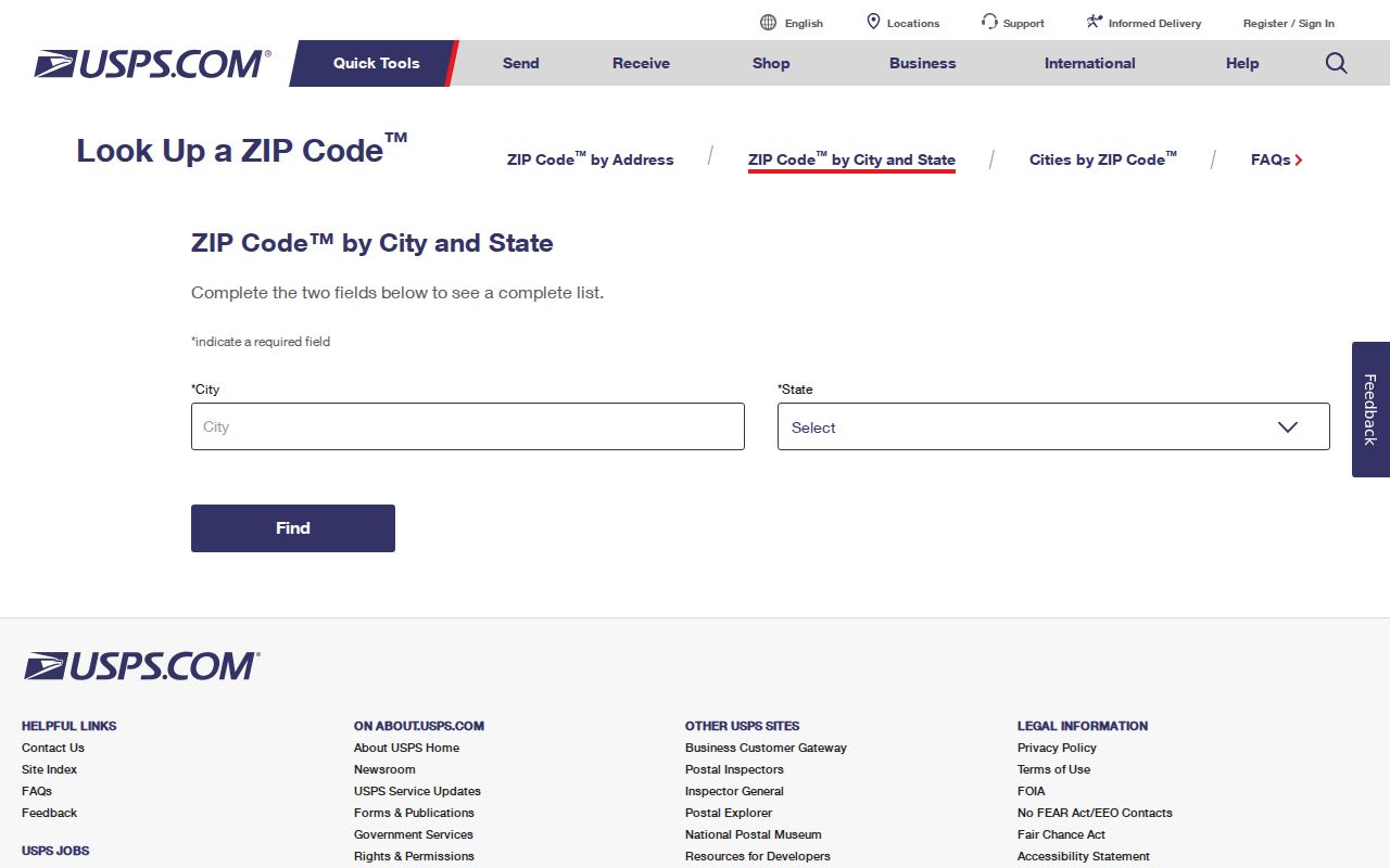
Use the result as a mailing fact, then return to the parcel or record custodian for any resident or ownership question.
Irvine Portals Lack a ZIP-Wide Resident Search
The Assessor public route is APN-based and suppresses owner-name searching. The Treasurer route accepts an address, parcel number, or tax-default number. Irvine GIS is a map and click tool. The permit portal accepts street, tract, map, lot, subdivision, parcel address, and APN fields. The voter file is restricted by California law. None of those systems offers a documented, open query that returns everyone in ZIP 92618 or ZIP 92620.
The same caution applies across the northern and western ZIPs. ZIP 92602 approaches unincorporated Orange and Tustin postal geography, while 92603 approaches Newport and Laguna geography. ZIP 92604 and 92620 cross central or northern village ideas without adopting their planning lines. ZIP 92606 and 92614 cover civic, Westpark, Woodbridge, and business areas that may be described differently by a city map or a mailing label. The postal code narrows the search, but the address and parcel decide which record trail follows.
Census ZCTAs can support population context, but a ZCTA approximates a postal area and is not the same as a USPS delivery boundary. A ZIP code directory should not turn a statistical area into a name list. Use a ZIP to set scope, then use a permitted record source for the specific person, parcel, or household question.
The Irvine neighborhood and community services page is useful for civic orientation, not for an open member roster.
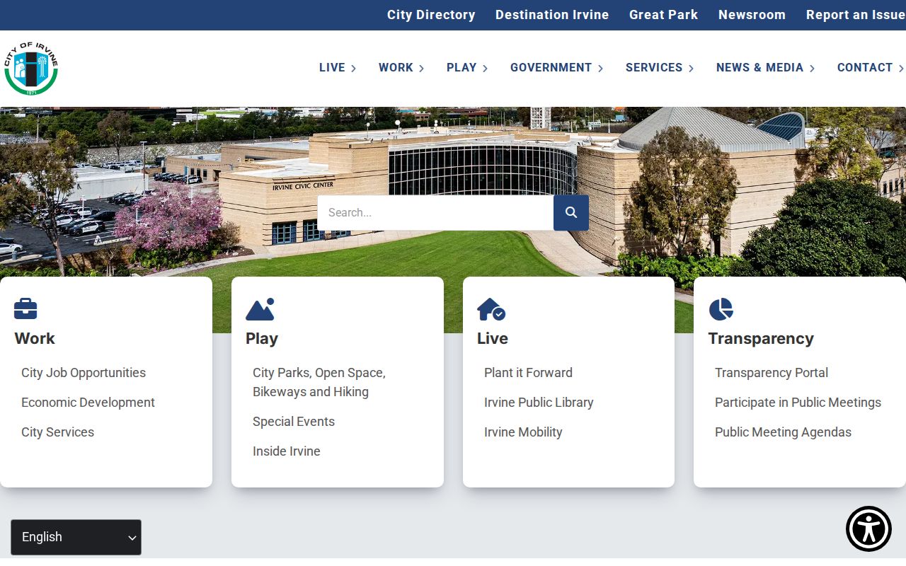
Community resources and postal boundaries can overlap without sharing a record system.
ZIP Code Boundaries and Irvine City Limits
ZIP boundaries are built for mail delivery, while city boundaries, village plans, university areas, annexations, and parcel lines serve different purposes. A city address can sit near a neighboring postal geography, and a ZIP label can extend beyond the city idea used in a directory. Research did not verify a single complete current crosswalk, so each address needs a USPS check plus a municipal or county map check.
- ZIP code
- A postal delivery area used by USPS; it is not a city boundary or resident roll.
- ZIP+4
- An added delivery segment that refines a mailing address within a ZIP.
- PO-box ZIP
- A ZIP used for box or agency mail rather than a geographic residential route.
- Unique ZIP
- A ZIP associated with one institution or defined organization, such as the UCI institutional route.
- Carrier route
- A mail-carrier delivery path inside the broader postal system.
Practical check. A ZIP code can narrow an Irvine search, but the address, APN, custodian, and record date decide what a resident lookup can responsibly say.
That is why the Irvine ZIP code directory ends at a verified postal fact and hands the next step to parcel, court, vital, historical, or civic records with their own access rules.