
Finding Who Lives Along an Irvine Street
A street search works best when it moves from land records to people records. The City of Irvine parcel viewer can locate a physical polygon, while the county address or tax route can help identify an APN. The Assessor's public online result is an assessment snapshot, and RecorderWorks shows indexed parties to instruments. Those facts can identify an owner trail, but they do not establish every occupant. Directories, census schedules, newspapers, and a lawful personal conversation may add household context for an earlier year.
Use the street directory workflow in this order so each later search inherits a stable key from the one before it:
- Enter the number and street in the Irvine parcel viewer or an Orange County address route, then note the APN and legal parcel context.
- Open the APN in the Assessor path and record the assessment and map facts without treating the result as an occupancy list.
- Use the APN, legal description, party name, or recording identifier in the Orange County grantor-grantee index.
- Search Irvine permits with the exact address, a street wildcard, or tract, map, lot, and subdivision fields to date construction activity.
- For a past household, move to countywide directories, census records, newspapers, or the library's local-history help rather than forcing a modern street name into an old index.
For a whole block, click each adjacent parcel separately. For one named person, use the Irvine resident lookup route instead of treating a street result as a person match.
Irvine GIS Turns Street Words Into Parcels
The City of Irvine Online Parcel Search is the map-first tool in an Irvine street directory workflow. Locate the address, zoom to the block, and click the parcel where the street number sits. The map is useful for geometry, APN orientation, and adjacent parcels. It is not a resident roster, and the research did not verify a complete popup inventory, automatic radius search, or export function. Treat the click as a way to get a parcel key, not as proof that a person occupies the structure.
The City's PDF map library provides another way to compare planning areas, neighborhood lines, and street context. A static map can clarify a tract or village when a modern street phrase does not line up with an older record. Keep the PDF and the parcel result together in notes, since the same street language can sit across planning, postal, and legal descriptions.
The Irvine GIS PDF map library shows the municipal map route.
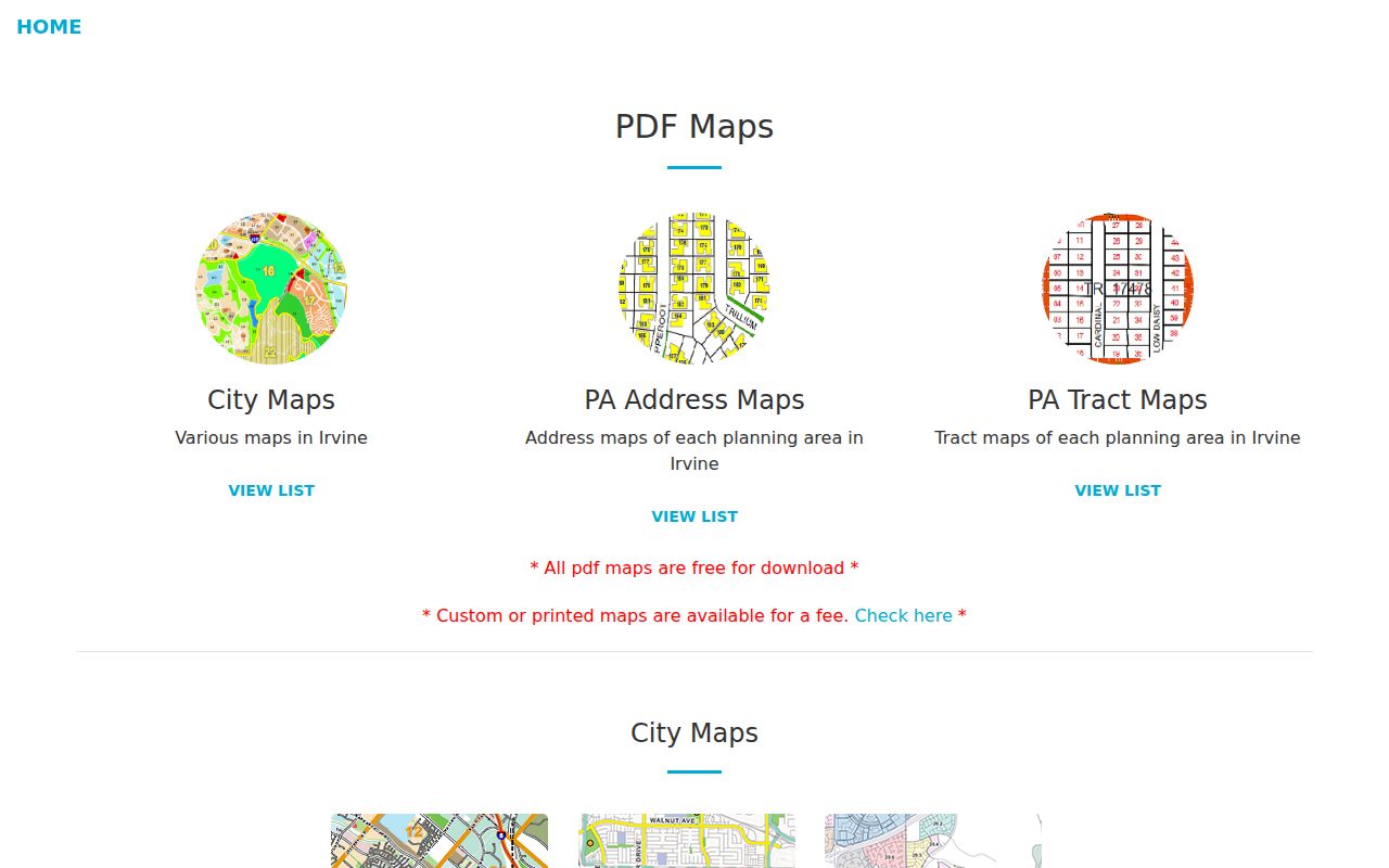
The map-library view is a useful companion to the live Irvine Online Parcel Search, especially when a street segment crosses a planning-area boundary.
- Parcel
- A mapped unit of land identified by an APN or legal description.
- Situs address
- The physical address of the parcel, distinct from a tax-mail destination.
- Plat or final map
- A recorded subdivision map that ties lots, streets, and legal geometry together.
- Adjacent parcel
- A neighboring mapped polygon, not a list of the people inside it.
Irvine Assessor Search Starts With the APN
Orange County's assessed-value interface is deliberately APN-first. The public search states that owner-name searches are not allowed by law, so a street directory should not promise a free web lookup by owner name. Start with a mapped parcel or a Treasurer address route. The APN may appear as eight numeric digits and can have a decimal suffix in tax systems. Once the APN is known, the assessment result can supply land, improvement, total, exemption, and parcel context.
These are the documented entry points in the county property workflow:
| APN | Required key for the assessed-value search; the public example uses an eight-digit numeric parcel number. |
|---|---|
| Property address | Address autocomplete in the Treasurer route can translate a situs address into a parcel or tax account. |
| Parcel number | An alternative Treasurer key, with decimal suffixes possible in examples. |
| Default number | A separate Treasurer route for a tax-default record when that key is known. |
The Orange County assessed-value search demonstrates the APN boundary.
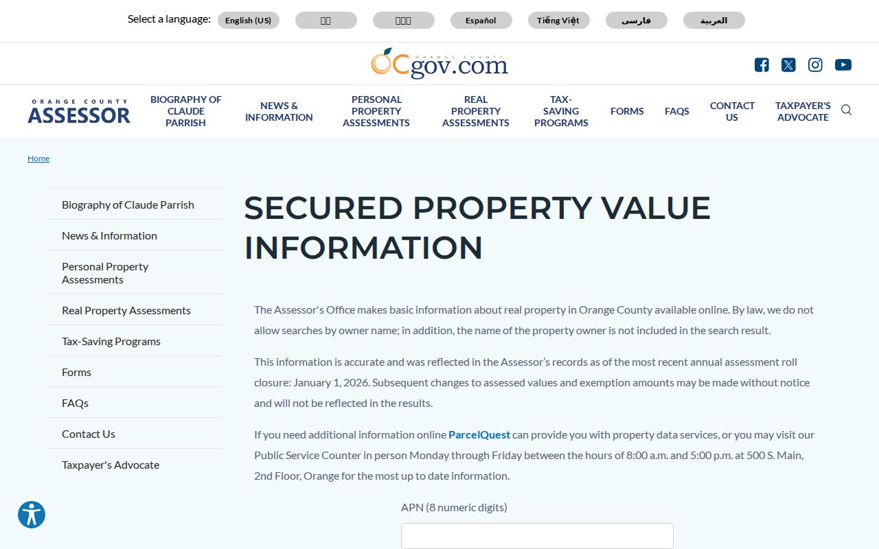
The image reinforces the order of operations: identify the parcel first, then read the assessment. The county's counter at 500 S. Main Street, 2nd Floor, Orange, is a fallback for lawful property information, Monday through Friday from 8 a.m. to 5 p.m., with 714-834-2727 listed for the office. Counter access still does not turn the roll into a list of household members.
Orange County's property information and parcel maps page explains the online ParcelQuest path and the public counter route.
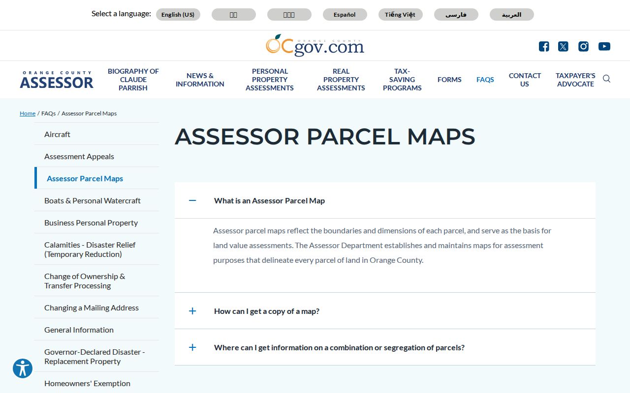
The county's Assessor parcel-map guidance explains what the map delineates and how map copies are accessed.
Irvine Records Searchable by Street
Once the address has an APN, several record sets can be joined without pretending that they answer the same question. This coverage map is the core of an address-based Irvine street directory:
| Record Set | Keeper | Street-Level Contribution | Access |
|---|---|---|---|
| Parcel and assessment | Orange County Assessor | APN, mapped parcel, value and exemption context | APN search and counter |
| GIS parcel map | City of Irvine | Geometry, lot orientation, adjacent polygons | Free map |
| Recorded instruments | Clerk-Recorder | Transfer parties, dates, document identifiers | Free index; copies separate |
| Permits and plans | City Community Development | Project, applicant, owner-at-filing, dates and inspections | Online inquiry; request gaps |
| Voter data | Registrar of Voters | Residence information only through approved access | Authenticated or qualified request |
| Directories and census | Libraries, archives and NARA | Past occupants or acreage households by year | Collection and license rules |
The parcel number ties current assessment to a legal land record. The street words help find permits and map segments. A historical directory or census entry can supply an occupant name for a particular year. Keep the source, date, and exact spelling beside every result.
Irvine Permits Add an Address Timeline
The Irvine Building and Safety portal is especially useful when a street question is really a question about when a building, addition, inspection, or plan appeared. Its detailed inquiry accepts permit number, project name, applicant, owner, customer number, application date, issue date, street address, suite number, map number, lot, subdivision, parcel address, and parcel number. A street wildcard such as *ALTON* can widen the address search, while a map, lot, or subdivision can gather permits across a tract.
A result can include the permit number, type or status, project and address, submitted applicant, contractor or owner, application and issue dates, and inspections. The word “owner” means the name supplied during the application, not necessarily the present owner or occupant. Existing plan-check and permit inquiries do not require a login; issuing a permit requires registration. Older or undigitized plans should be requested with the address, tract, lot, and approximate date.
The Irvine permit search form exposes the address and parcel fields.
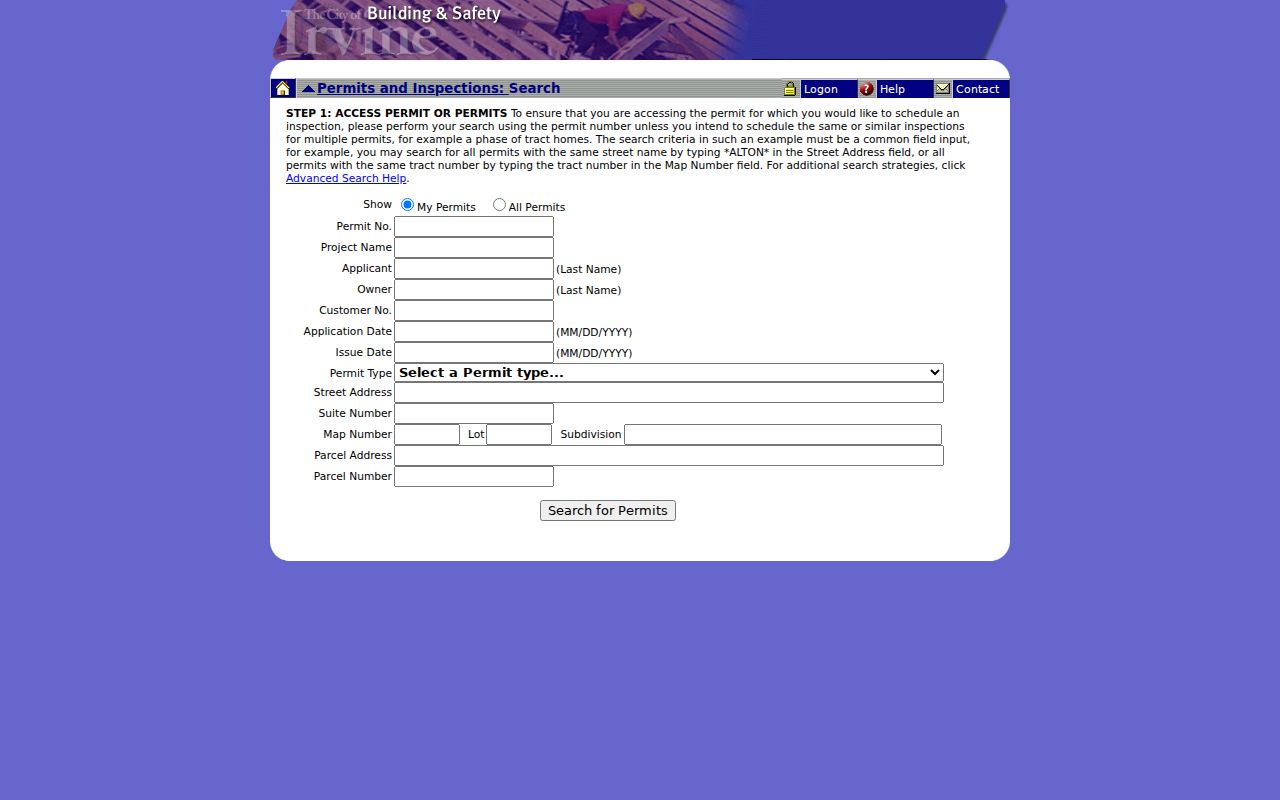
Use the permit screen to date physical change, then confirm the land trail in the Assessor and Recorder. A permit is evidence of city activity, not an occupancy record.
Irvine Deed Chains Follow Legal Parcels
RecorderWorks is not principally indexed by a modern street phrase. Search the party, document number or type, map, legal description, recording date, book, page, or parcel clue that the record supplies. Begin with the APN and the most recent title-affecting instrument. Then search the seller as a grantee to find the prior acquisition, repeating the chain backward. Legal description and APN outlast many changes in postal wording.
The public index gives party roles, recording date, document type, and the pre-1982 or 1982-forward identifier. It does not show public web images. Official copies are ordered separately, and the Clerk-Recorder says staff will not conduct the underlying deed search by telephone, mail, or at the counter. A street directory entry should cite the index as an ownership clue and avoid calling it proof of residence.
The Orange County grantor-grantee index is the official deed search route. The official copy instructions explain the image and fee distinction.
The Orange County Public Works associated-documents map adds survey, parcel, tract, and map context when a legal description needs a second map source.
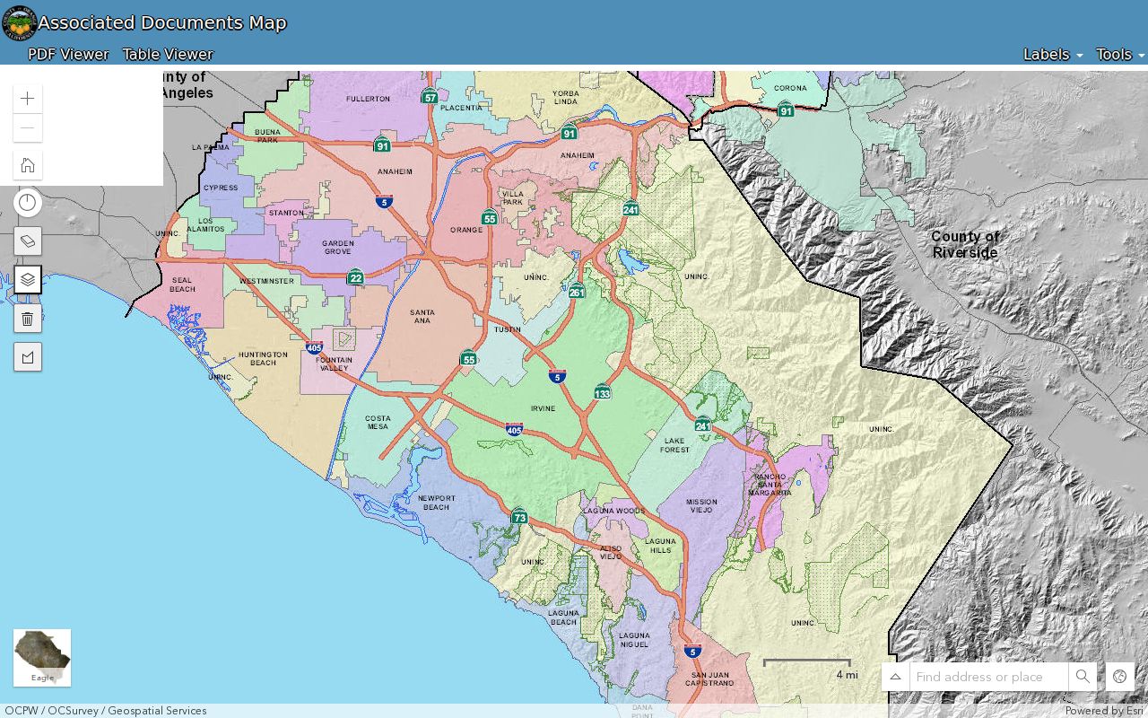
Use a county map document to reconcile parcel geometry, then return to the recorder index for the recorded party and instrument trail.
Process: street number and name to parcel, parcel to APN, APN to deed party, current grantee to prior grantor, and deed chronology to historical directory or census evidence.
Irvine Address Rules Outlast Street Names
Irvine's addressing policy makes final tract and lot information important. The City’s Addressing and Street Naming Policies and Procedures were issued in May 2011 and revised in May 2013. Community Development and the Development Assistance Center coordinate address and street-name approval, while residential address plans must be approved before permits. Tentative tract and lot numbers can change at the final map stage.
Monthly Addressing Reports list newly assigned building addresses and address or street-name changes with tract, lot, and street lists. They are a useful CPRA target when a current street phrase fails in an older record. An annexed address may remain or may change after City review, and a discarded address can stay in the historical record after a lot merger. UCI and University Hills addresses are assigned by UCI rather than by the City of Irvine, which is a key custodian exception for campus-area research.
The Irvine addressing and street-naming policy supplies the governing context.
Compare the final map, APN, and legal description before deciding that two different street labels represent two different parcels.
Historical Irvine Street Directory Evidence
Older street evidence belongs to the year and collection that produced it. Verified Orange County directory leads include Milliken’s 1895-1896 volume, a 1903 county directory, Santa Ana and Orange County runs cited for 1905-1931, overlapping 1928-1952 descriptions, and a circa-1930 NARA grouping. Those volumes may use county, Santa Ana, Irvine Ranch, acreage, employer, or locality language rather than a modern Irvine street address.
Criss-cross or reverse coverage was not verified as a continuous Irvine run. Use the library or archive catalog to confirm whether a given volume has a street-order section before treating it as a historical street directory. The Irvine city directories page owns the collection details and the household tracing method; the address page uses them only as one past-occupant layer.
Search a surname, a locality, and a street variant together. Photograph the page and abbreviation key when permitted. Never expand an abbreviation or convert an acreage owner into a city occupant without a second source.
Why Irvine's Voter File Is Not a Street List
An Irvine street directory cannot be built by casually browsing registered voters. Orange County's self-service tool is a person's authenticated lookup. A separate 2025 data application requires a wet signature, identification, a detailed permitted use, supporting material, security controls, and payment. The county application states that voter-registration information is not public data and restricts commercial use.
A qualified request can concern a limited set of specific voters or a permitted data order, but the result should not be republished as a block roster. The file can contain name, residence or mailing address, registration status and date, party, precinct, district, and election participation, while license, SSN, signature, and full authentication data remain protected. Elections Code sections 2188, 2194, and 18109 and 2 CCR sections 19001 through 19013 control the route.
The Orange County voter-data rules explain the application channel. For ordinary street research, rely on parcel, deed, permit, directory, and census records instead.
The county's 2025 voter-data application lists the wet-signature, permitted-use, security, and identifying-information requirements.
What the Irvine Street Directory Cannot Show
Public land records identify parcels and recorded parties, not every person connected to a home. Renters, household members, guests, utility customers, delivery recipients, and DMV address records are outside the ordinary public street chain. The federal Driver's Privacy Protection Act, 18 U.S.C. sections 2721 through 2725, controls DMV information. A different mailing address can suggest that an owner is not living at the situs, but the public Assessor result suppresses the owner's mailing address.
Lawful use. Irvine address records are appropriate for personal research, family history, property curiosity, and civic questions. Do not use a street directory to stalk, harass, intimidate, or threaten anyone; a public source does not make harmful use lawful under California law.
When a street search stops at an owner or document party, stop there unless a separate source and lawful purpose support the next step. Verify a record with the custodian, preserve protected addresses, and let the Irvine street directory remain an index to responsible research rather than a claim about an entire household.